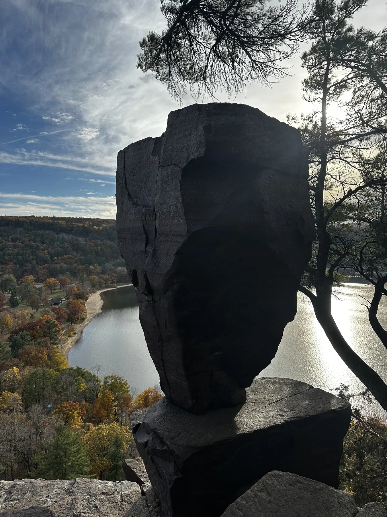
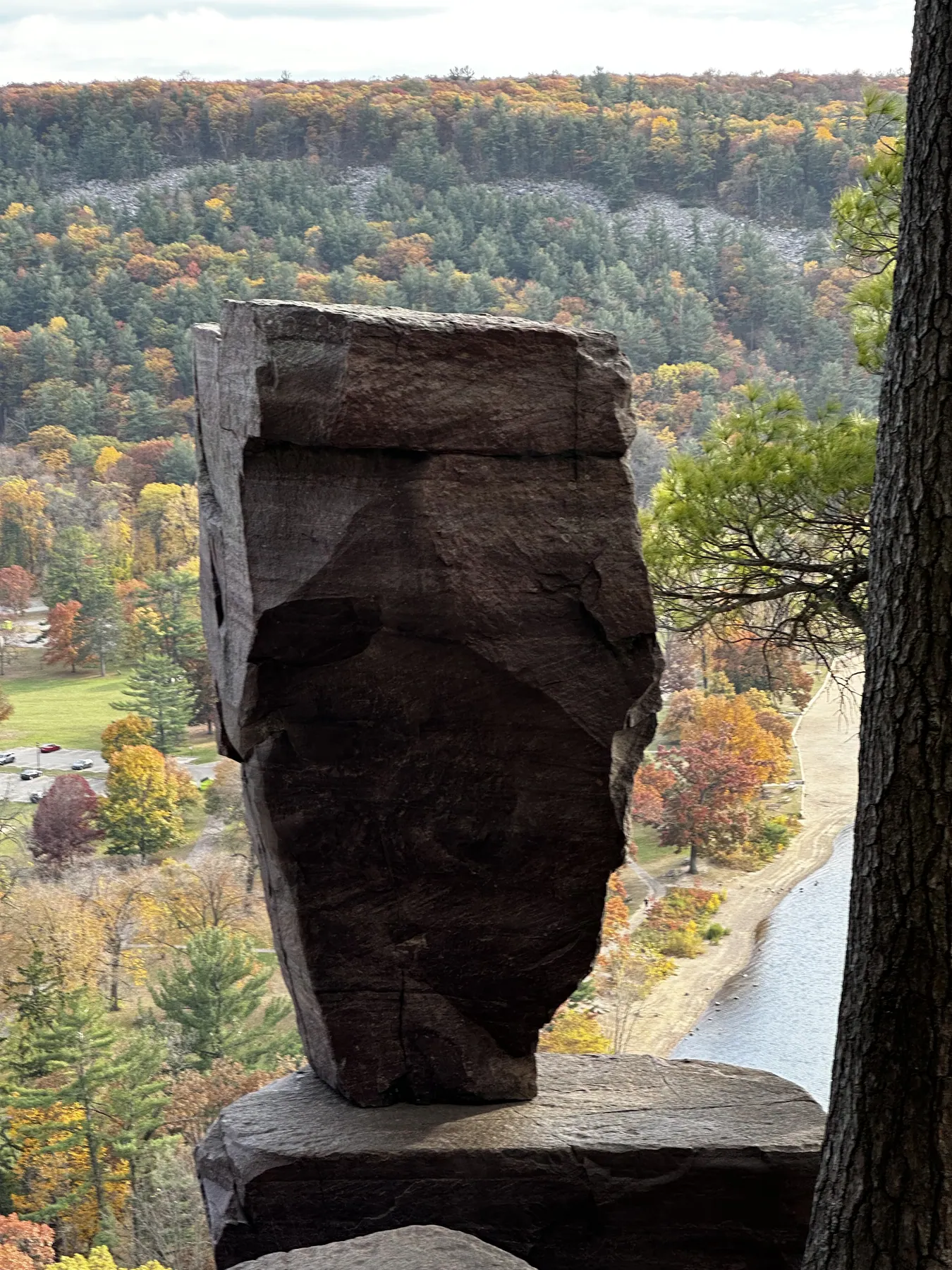
From the North Shore day-use area, take East Bluff Trail up the stone steps and along the ridge. Return the same way, or turn earlier for a shorter climb. The gold line shows the longer Ice Age Trail segment through the area, including the East Bluff.
Tumbled Rocks alternative
Flexible distance · park trail
For a lower outing, follow the west shore’s Tumbled Rocks Trail as far as comfortable and retrace it. The DNR trail map shows both park hikes; Tumbled Rocks is not the highlighted line on this map.
Trail map and parking
Check the signs at your chosen access point. The point closest to the trail may use a separate path or street crossing.
Use the official map for trail and access information.
The GPX contains the highlighted trail. Check the official map for access, suggested road connections and current closures. AllTrails may show different endpoints or include additional trails.