Ice Age Trail Guide
← All hikes

Baraboo Hills & Wisconsin River · Ice Age Trail

Gibraltar Rock Segment

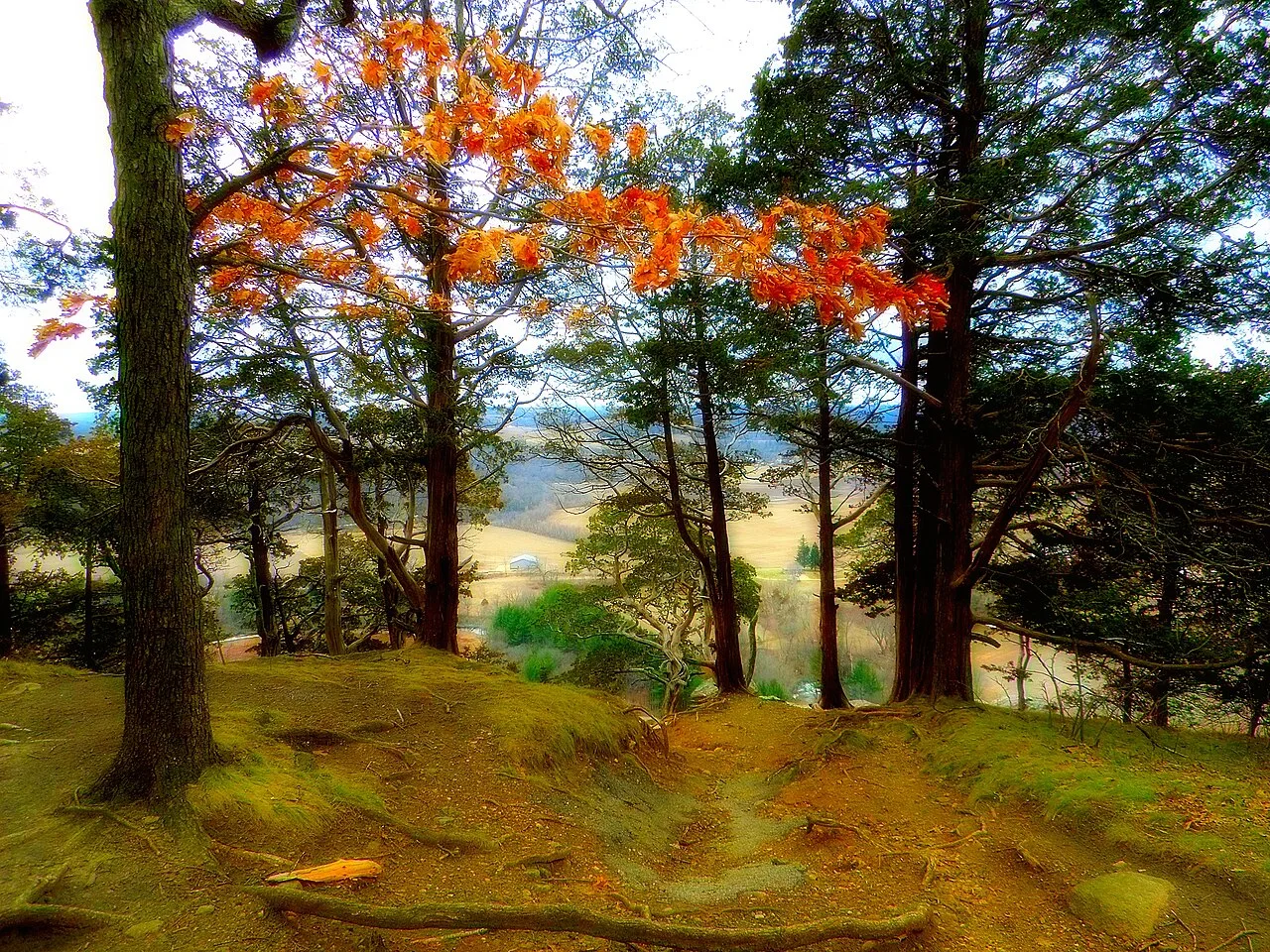
A steep climb opens above fields and Lake Wisconsin, with the Baraboo Hills in the distance.

Southern Columbia County4 mi mapped trail
View out from the top of Gibraltar Rock
Gibraltar Rock

Plan your hike

Walk the full segment

4 mi mapped trail + 0.8 mi suggested connection

The Alliance checklist lists Merrimac Ferry south landing wayside to CTH-V as the segment limits. Confirm access at both ends on the official map and arrange a pickup if you plan to hike in one direction. The suggested road portions appear as dashed lines.

Start with a shorter walk

Choose your distance · out and back

Use a listed parking area, find the signed trail and retrace your steps. Check the official map for any crossing or access spur before leaving the car.

Trail map and parking

Check the signs at your chosen access point. The point closest to the trail may use a separate path or street crossing.

Use the official map for trail and access information.

Ice Age Trail Connections where shown

The GPX contains the highlighted trail. Check the official map for access, suggested road connections and current closures.

Check the official map and posted signs for current routes and closures. Official trail and parking map

Where to eat

Where to stay

Use Lodi as an area base. Compare the drive from your trailhead when choosing a room.

We may earn a commission if you book through this Expedia link.

Search hotels near Lodi