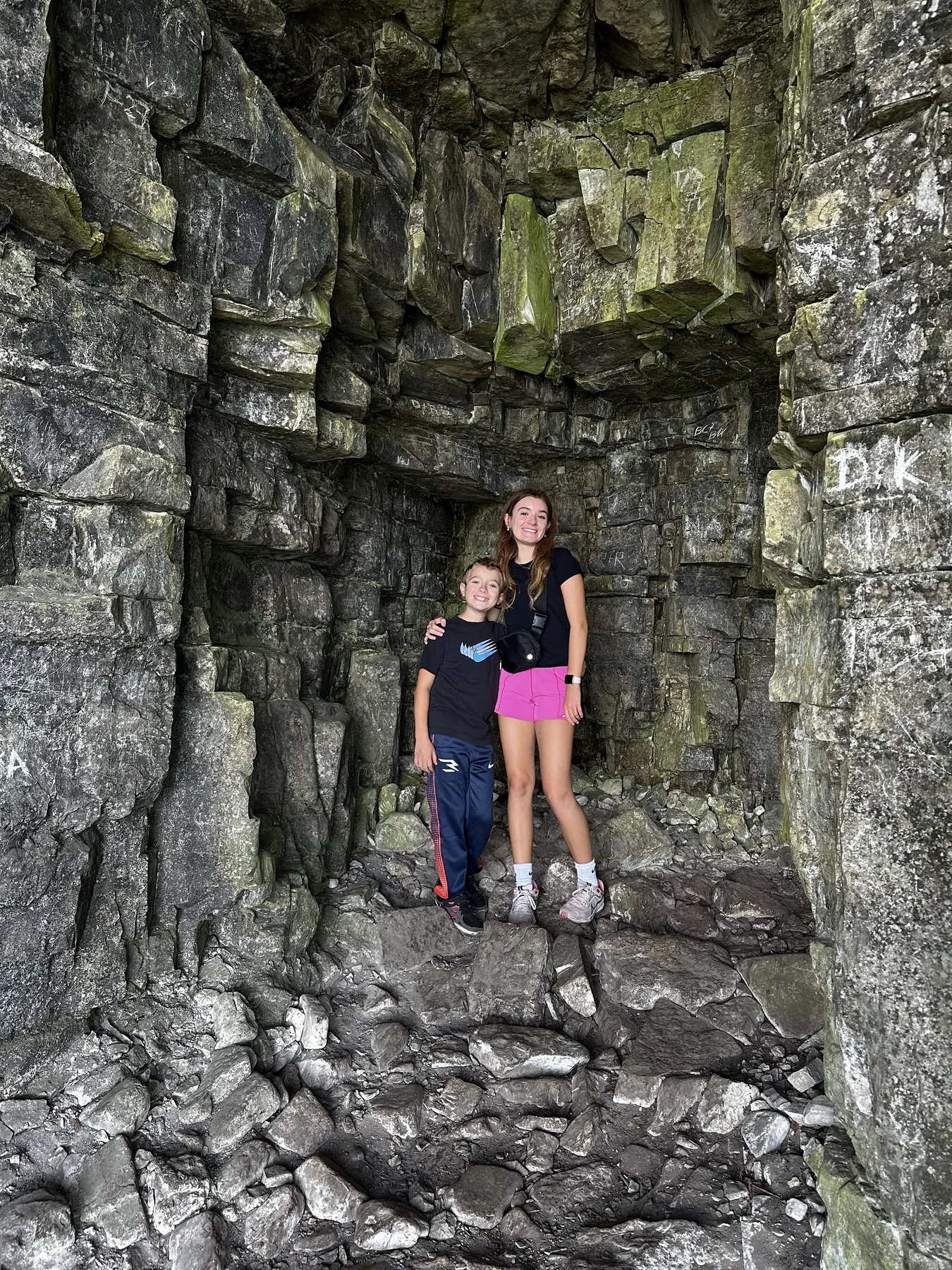
Eagle Trail
2 mi loop · rocky and steep in places
Start from the Eagle Tower area. Follow park signs down toward Eagle Harbor and back up the bluff. Rock ledges and wet areas make for uneven footing.
Lake Michigan & Door County · Side trip
Pair the eastern terminus with a separate Door County hike through cedar woods and along the Niagara Escarpment.
Door County side trip
2 mi loop · rocky and steep in places
Start from the Eagle Tower area. Follow park signs down toward Eagle Harbor and back up the bluff. Rock ledges and wet areas make for uneven footing.
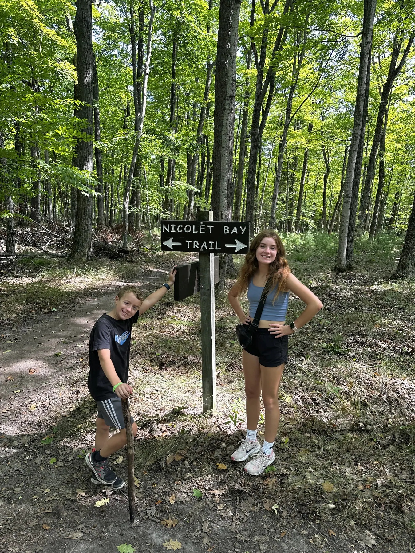
2.2 mi one way · moderate
Use access near the amphitheater lot or Welcker’s campground. Follow the signed trail through hardwood forest and turn back when it suits your group.
The green line shows Eagle Trail. Use the state park map for Nicolet Bay Trail.
Use the official map for trail and access information.
The GPX contains the highlighted trail. Check the official map for access, suggested road connections and current closures. AllTrails may show different endpoints or include additional trails.
Check the official map and posted signs for current routes and closures. Official Peninsula State Park map
Find diners, bakeries and brunch spots in Sturgeon Bay and around the peninsula.
Read the North Shore Family Adventures guideFish Creek · Wood-fired pizza near the park.
Menus and visitor informationHomestead Suites is a Fish Creek base for time in Peninsula State Park and nearby villages.
We may earn a commission if you book through this Expedia link.
Check Homestead Suites