
Eastern terminus sampler
Choose your distance · out and back
Start near the old ski hill overlook at the eastern terminus. Follow the yellow blazes into the park and retrace your steps when you’re ready.
Lake Michigan & Door County · Ice Age Trail
Visit the eastern end of the Ice Age Trail, then follow the bluff and shoreline inside Potawatomi State Park.
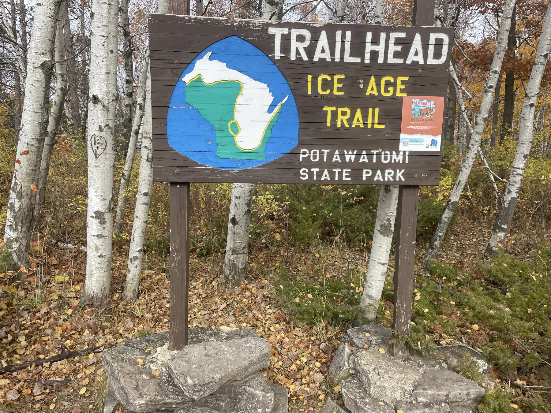
Bay shore & eastern terminus
Choose your distance · out and back
Start near the old ski hill overlook at the eastern terminus. Follow the yellow blazes into the park and retrace your steps when you’re ready.
2.8 mi one way · 5.6 mi if retraced
From the eastern terminus, follow the Ice Age Trail to its park exit off Shoreline Road. The 2.8 miles is the DNR’s in-park distance. The city route beyond the park is a separate outing.
Check the signs at your chosen access point. The point closest to the trail may use a separate path or street crossing.
Use the official map for trail and access information.
Ice Age Trail Connections where shown
The GPX contains the highlighted trail. Check the official map for access, suggested road connections and current closures. AllTrails may show different endpoints or include additional trails.
Check the official map and posted signs for current routes and closures. Official trail and parking map
Find diners, bakeries and brunch spots in Sturgeon Bay and around the peninsula.
Read the North Shore Family Adventures guideBridgeport Waterfront Resort is a base in town for a hike plus a Sturgeon Bay weekend.
We may earn a commission if you book through this Expedia link.
Check Bridgeport Waterfront Resort